Unfortunately due to the impending weather forecast for this weekend our Bomaderry Creek event this Saturday will need to be rescheduled. The narrow gorge will be uncrossable and the steep terrain too slippery and dangerous to safely proceed with the event.
Stay dry everyone, and we will let you know when we have a new date to showcase this spectacular new map.
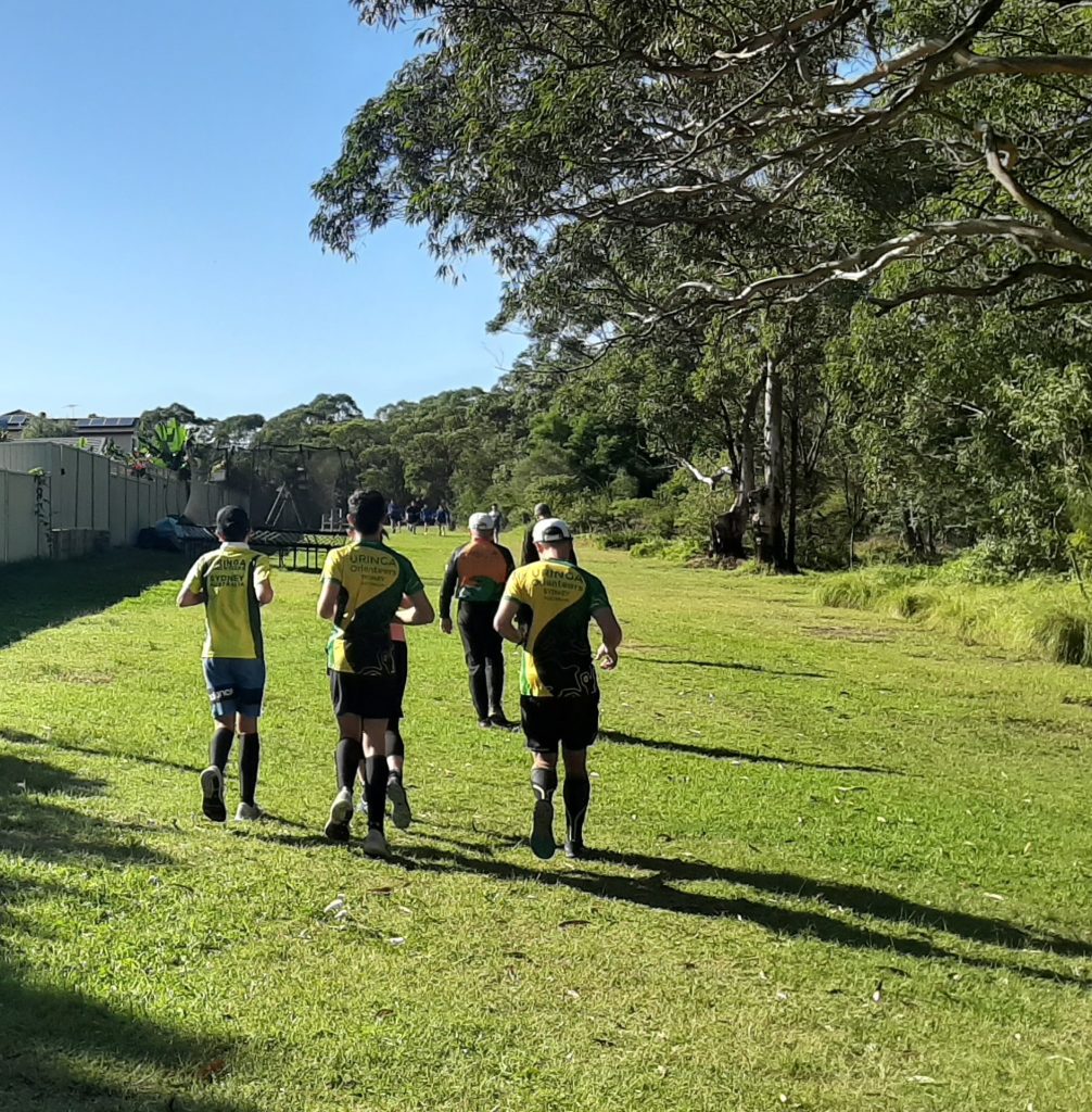
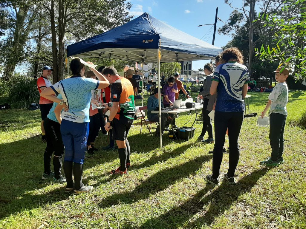
Next Sunday’s MetrO League event will be held at Western Sydney Parklands. Courses: Hard –Division 1 – 4, Moderate – Division 5, Easy/Moderate – Division 6, and Very Easy. MetrO League competition starts: 10:00 – 10:30am. Check details and enter at https://eventor.orienteering.asn.au/Events/Show/21607 Tip for first timers: You will need to log in to Eventor first & then check the drop down boxes to nominate Illawarra Kareelah Orienteers & select a Division that best suits your ability before proceeding to payment.
All club members are eligible and encouraged to participate. For those club members new to MetrO League, come along – it’s a good way of trying out orienteering in the bush. Let James Stuart, our Metro League team captain jistuart@bigpond.com, know if you want to run in a team and/or if you need advice on which Division you would feel comfortable running in. Non members can also attend and run as individuals. Limited enter on the day courses will be available from 9:30 – 10:00am and 10:30 – 11:00am.
…ON THE DAY… You may be approached y if teams are short. Likewise if we have too many for teams you may be asked to run up/down a division or you can just compete as an individual runner for that day.
2nd August – Bomaderry Creek – NEW MAP
Come along and run on Illawarra’s latest bush map and stay for lunch at the Bomaderry Bowling Club afterwards.
NSW schools middle distance and sprint championships will be held in the Southern Highlands. The middle distance event will be run on the Tallowa Gully map near Bundanoon. Sprints will be held on the Chevalier College map. Check eventor for details.
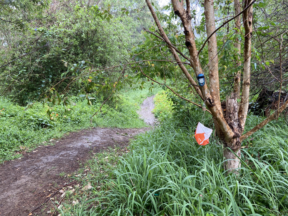
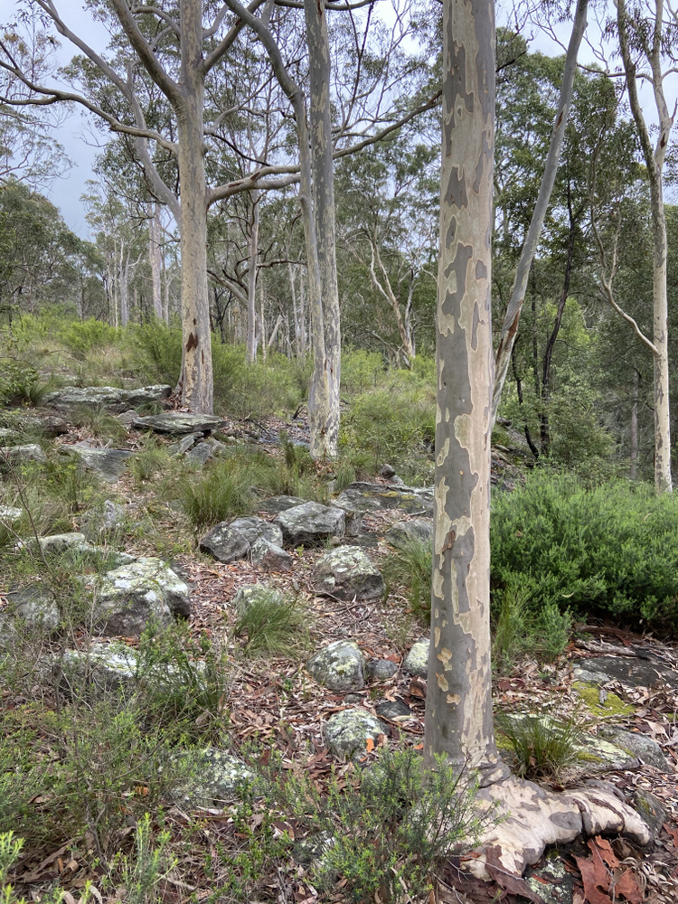
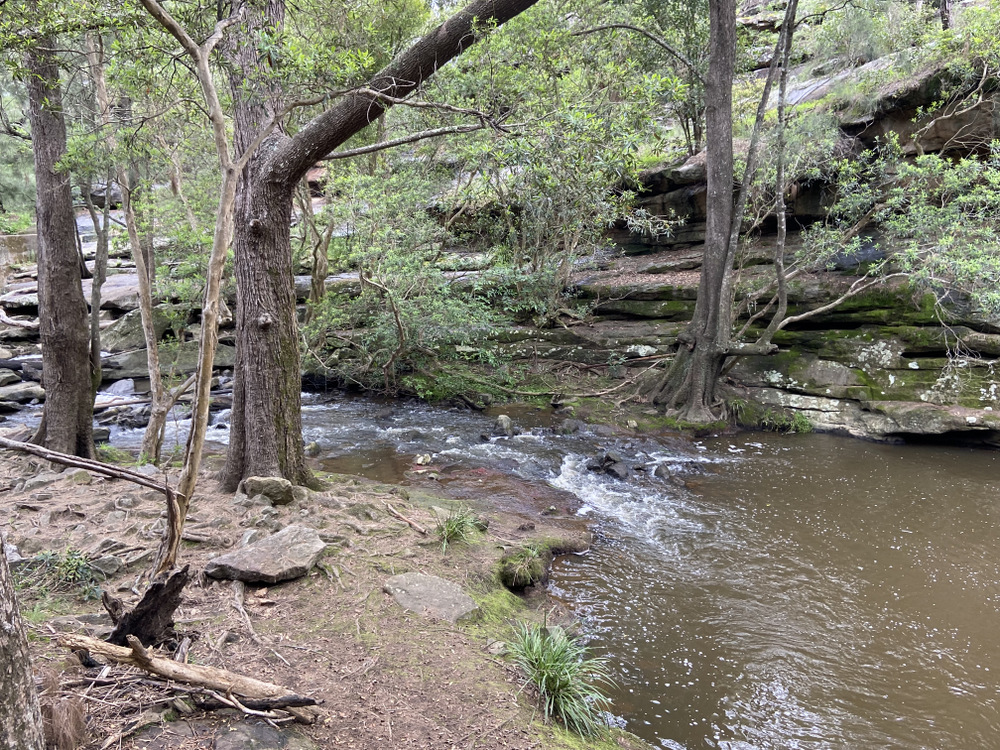
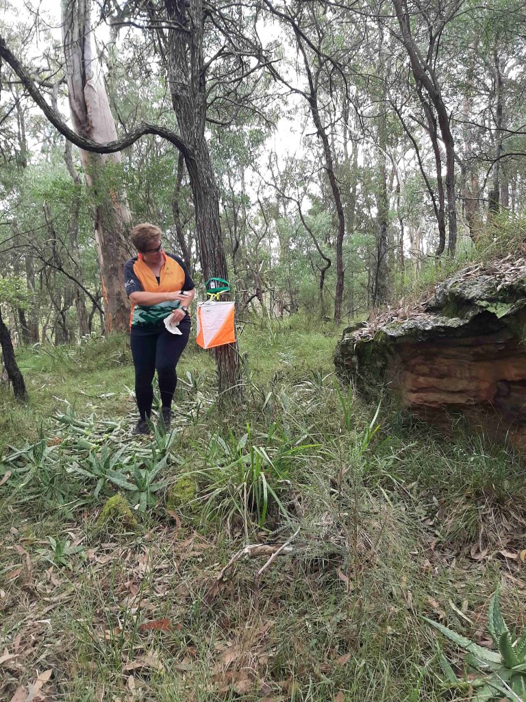
On Saturday 2 August we are looking forward to the debut of our new map in the rugged and picturesque Bomaderry Creek Regional Park just north of Nowra. Map-maker Keith has been working hard on this map over the past year and its finally time for our first run! The park features a mix of forest, sandstone cliffs and boulders, and a hidden gorge filled with the sound of running water (and cicadas in summer!).
Access: Head south on the Princes Highway and once you pass the Golden Arches turn right onto Narang Rd at the round-about. Look for the club flag to indicate the track access and follow the track to the picnic area. The parking area is tiny so park on Nerang Road. Toilets, water and BBQ facilities are available at the picnic area.
Courses and terrain: Traditional line courses of 5km, 3km and 1.5km will be available. The terrain is quite rugged and some of the cliffs are high and dangerous. Keith has advised that full body cover is recommended due to the thickness of the vegetation. The creek is generally uncrossable except where indicated on the map.
Starts are from 12:00 – 1:00pm. After packing up we will adjourn to the Bomaderry Bowling Club for drinks and a bite to eat.
A final reminder that the club is conducting a training day in the forest in the Helensburgh area this coming Sunday 1 June from 10am to 3pm.
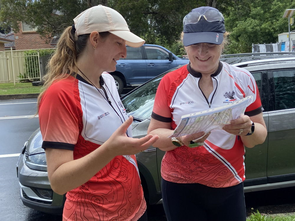
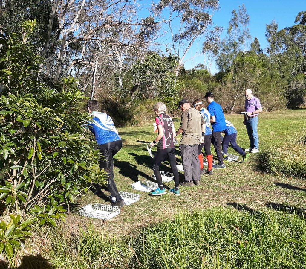
The focus of the training will be on techniques for navigating in the bush/forest to help you improve your bush orienteering skills. Both newer club members and regulars who’d like to brush up on their bush navigation skills are welcome to attend. Activities will be suitable for those new to competing in the MetrO League events. Come along and learn how to recognise rock features and navigate your way accurately through the bush. You will receive an introduction to, and a walk-through, of the map, guidance on navigation techniques before participating in some orienteering navigation exercises. At the end of the day you will be able to compare your route choice with the other competitors and discuss optimal route choices using Livelox technology. Instruction on Livelox will be provided. Bring your compass and GPS watch if you have one.
Enter via Eventor by midnight 31 May 2024. Note: there will be no enter on the day.
For those of you who know the basics of orienteering and are now keen to improve your performance when competing in the forest we suggest you check out the British Orienteering “Think Fast, Run Hard, Go Orienteering” series of instructional videos.
Our sister club Southern Highlands Orienteers (SHOO) will be hosting this event at Kentlyn, near Campbelltown . All club members are eligible and encouraged to participate. We would like a repeat of the last MetrO League event where all IKO teams had a win. Non members can also attend and run as individuals. Limited enter on the day courses will be available. These events are a good way of trying out orienteering in the bush.
Enter through Eventor at https://eventor.orienteering.asn.au/Events/Show/21605Tip: You will need to log in to Eventor first & then check the drop down boxes to nominate Illawarra Kareelah Orienteers & select a Division that best suits your ability before proceeding to payment. NOTE: Division 2 team have a bye this round, so will compete as individual entries.
For those club members new to Metro League, come along and give it a try. Divisions 3-5 are Moderate and Divisions 1 & 2 are Hard navigation.
…ON THE DAY… You may be approached on the day if teams are short. Likewise if we have too many for teams you may be asked to run up (or down if appropriate) a division or you can just compete as an individual runner for that day.